-
Destinations
-
EuropeWith more than 40 countries and as many different languages, Europe has great cultural diversity. View All Countries
- Albania
- Armenia
- Austria
- Belgium
- Bosnia
- Bulgaria
- Canary Islands
- Corsica
- Croatia
- Cyprus
- Czech Republic
- Estonia
- France
- Finland
- Georgia
- Germany
- Greece
- Greenland
- Hungary
- Iceland
- Italy
- Kosovo
- Lithuania
- Madeira
- Malta
- Montenegro
- Netherlands
- North Macedonia
- Norway
- Poland
- Portugal
- Romania
- Serbia
- Slovakia
- Slovenia
- Spain
- Sweden
- Switzerland
- Turkey
- United Kingdom
-
AsiaThe largest continent on Earth offers bustling cities and remote hidden valleys waiting to be explored. View All Countries
-
AfricaOne of the most diverse continents in the World. From the heights of Toubkal and Kilimanjaro to the sprawling savannas of South Africa. View All Countries
-
Middle EastA tapestry of ancient wonders and modern marvels, filled with cultural convergences with warm hospitality and a spectacular diverse landscape. View All Countries
-
AustralasiaA place of diverse landscapes, vibrant cultures, unique wildlife, and endless adventures for every traveller's delight. View All Countries
-
The AmericasA vast mosaic of cultures, stunning landscapes, diverse cuisines, and boundless opportunities for exploration and discovery. View All Countries
-
Polar RegionsFrozen wonders unfold in the polar regions with pristine landscapes, majestic wildlife, ethereal aurora. A surreal realm awaiting intrepid explorers. View All Countries
-
Europe
- Activities
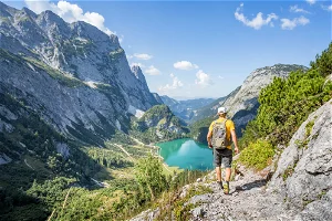 Walking & Trekking
The world’s best walking routes from leisurely footpaths to challenging trails.
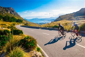 Cycling
Road, mountain, adventure, e-bike and leisure cycling holidays.
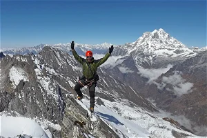 Mountaineering
Taking you high into the world's most spectacular mountain ranges.
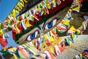 Culture
Active journeys focusing on the cultural highlights of a country.
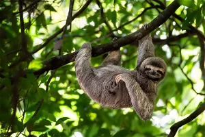 Wildlife
Wildlife experiences and safaris to see the world's most incredible animals.
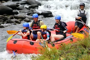 Family
Fun-filled adventures to share with all the family, led by specialist leaders.
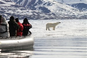 Polar
PolarDiscover the unique wilderness landscapes and wildlife of the Arctic and Antarctica.
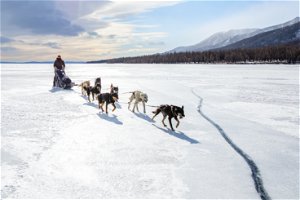 Winter
Thrilling snowy escapes away from the downhill crowds.
 Pioneer
Unique, expedition-style trips; adventures you never knew existed.
 Trail Running
From challenging trails, to scenic running adventures
- Ways to travel
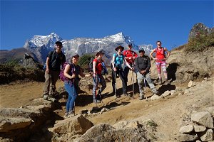 Guided Group
Small group holidays led by fantastic local KE leaders.
 Self-Guided
Travel at your own pace while we arrange all the logistics.
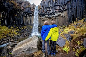 Family
Fun-filled adventures to share with all the family, led by specialist leaders.
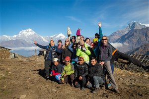 Private Group
Experience our guided adventures, exclusively for your friends and family
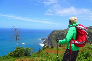 Solo Travel
Join like-minded travellers on our guided group adventures, or travel Self-Guided.
- Inspiration
 Toughest Adventures
Take on some of the toughest adventures in the world.
 Solar Eclipse
Experience a Solar Eclipse while on an adventure.
 Winter Sun
Escape to sunnier climates for a winter adventure
 See the Big 5
See Africa's mightiest beasts in their natural environment.
 Bestsellers
Discover our most-loved adventures.
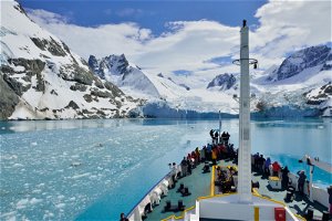 Expedition Cruises
Once-in-a-lifetime adventure across the frozen oceans.
 Remote Treks
Explore some of the remotest regions of the World.
 6000 Metre Summits
Set your sights high and conquer a 6,000m peak.
 Hut-to-hut Treks
Experience true wilderness on a hut-to-hut trek through the Alps.
 Last Minute
Feeling spontaneous? We've got just the adventure.
